
12,432Objects Detected
↑ +12%

3,204 km²Area Analyzed
↑ +28%

97.6%Detection Accuracy
↑ +1.3%

3Active Monitors
↑ +7%
Active Mission
Live Emergency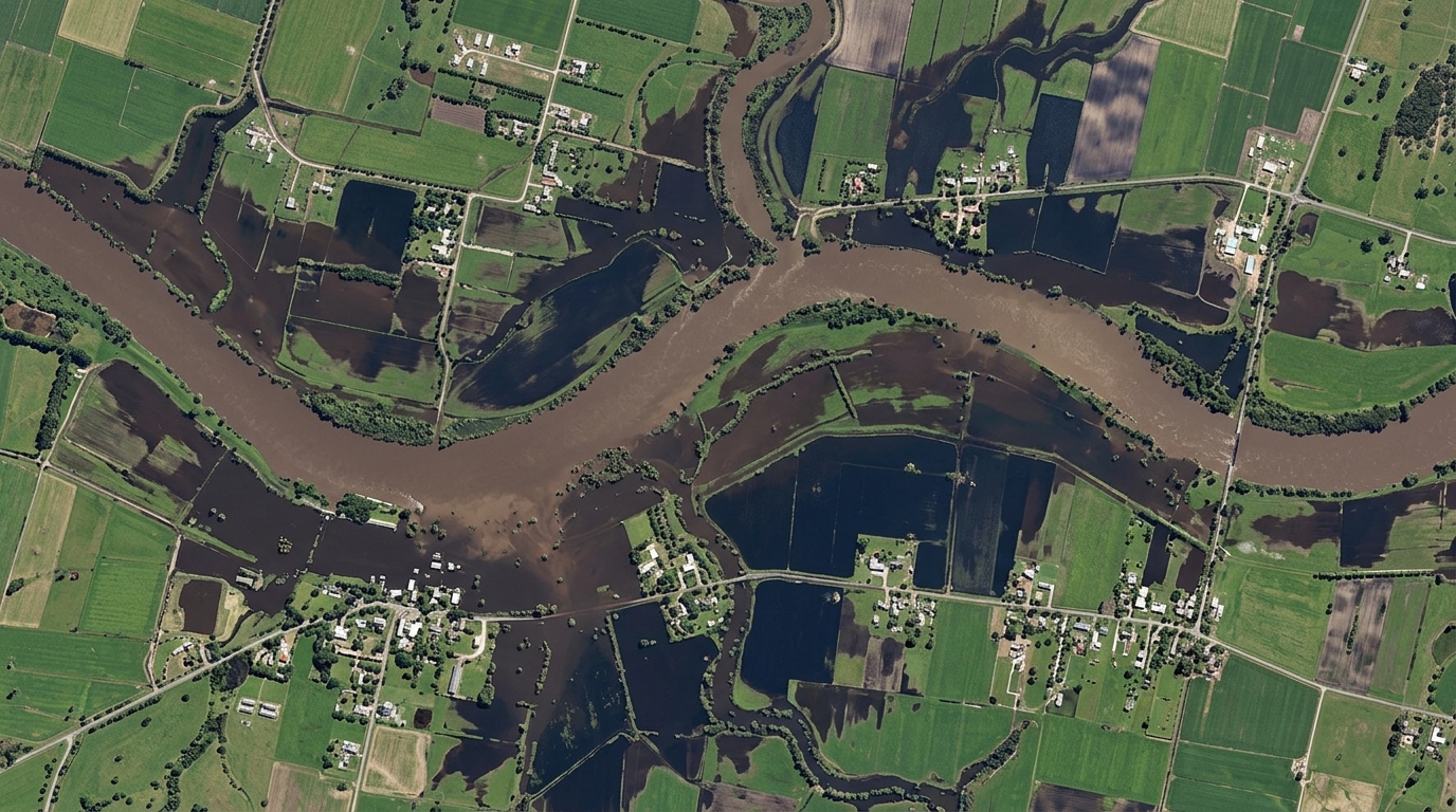 Active Emergency Response
Brahmaputra Basin Flood Inundation & Embankment Breach Analysis
Disaster ManagementAssam & Majuli River Basin, India
Monsoon surge across Assam has submerged 312+ km² of agricultural terrain. Bi-temporal Sentinel-2 & SAR NDWI water delineation isolates breached levees to guide NDRF rescue operations.
Submerged Area:312.4 km²Breached Levees:18 Zones DetectedFarmland Submerged:42,800 Ha
Sentinel-2 MSI (10m) + Sentinel-1 C-SARFly to Target